Open Source Spatial LLMs in Python: Automating GIS (2026)
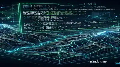
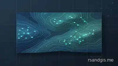
Open Source Spatial LLMs in Python are revolutionizing GIS automation. Learn how to run local models like CodeLlama to generate PyQGIS and GeoPandas code.
Discover the world of geospatial technology, satellite imagery analysis, and innovative GIS applications through our research-driven blog.
In-depth technical comparisons, GeoAI architectures, and flagship spatial analysis workflows
Open Source Spatial LLMs in Python are revolutionizing GIS automation. Learn how to run local models like CodeLlama to generate PyQGIS and GeoPandas code.
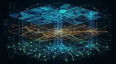
The geographic information systems landscape has evolved rapidly. Compare QGIS, gvSIG, and GRASS GIS to find the best open-source solution for your spatial analysis needs.
Read Article
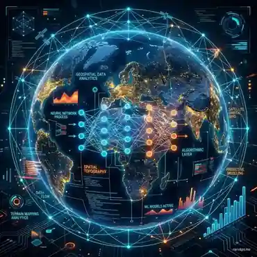
Discover how Artificial Intelligence in GIS (GeoAI) is revolutionizing spatial analysis. Learn about deep learning for satellite imagery, spatial LLMs, and predictive modeling.
Read Article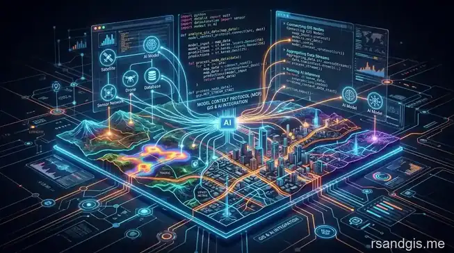
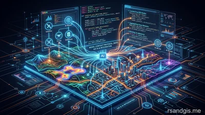
Learn how to execute a complete qgis claude code mcp integration to automate spatial analysis, vector manipulation, and map generation seamlessly.
Read ArticleStay updated with our latest research, tutorials, and insights
Master GRASS GIS Python automation. Learn to build scalable geoprocessing scripts, automate raster analysis, and optimize open-source workflows.
Master advanced PyQGIS machine learning workflows. Build headless geospatial ETL pipelines and predict raster classifications with Scikit-Learn.
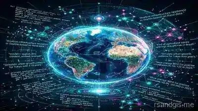
Discover how Spatial LLMs and GeoAI agents are revolutionizing geographic information systems, spatial analysis, and natural language mapping in 2026.
Explore how Germany, TUM, and the Berlin Senate pioneered CityGML, nationwide LoD2/LoD3 models, 3D cadastre, and urban digital twins.
Master geospatial data with our comprehensive GRASS GIS spatial analysis guide. Learn raster processing, Python integration, and workflows.
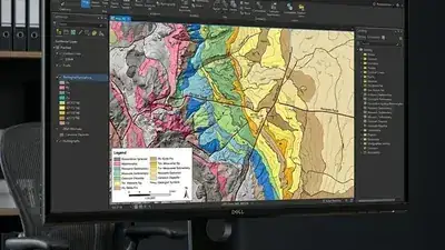
Master QGIS automated geological mapping workflows. Automate lineament extraction, lithological classification, and spatial models.
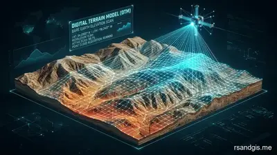
Learn everything about Digital Terrain Models (DTMs), how they differ from DEM and DSM, their creation process, and applications in GIS.
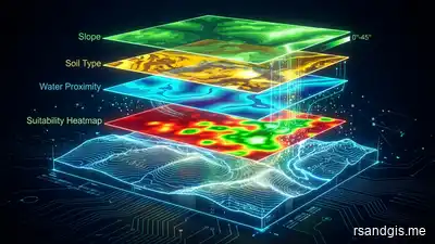
Explore how GIS based multi criteria land suitability analysis helps optimize land use and drive sustainable urban planning and development.
Discover how machine learning groundwater potential mapping transforms water resource management, offering high accuracy in spatial analysis.
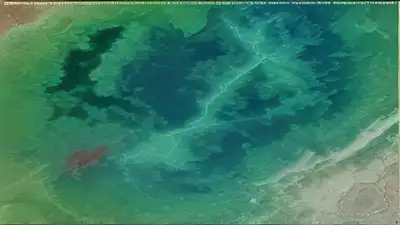
Discover google earth engine water quality monitoring workflows. Learn to track turbidity, chlorophyll, and algae blooms via satellite data.
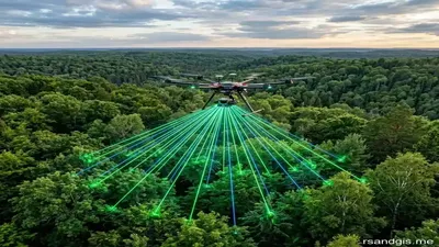
Discover the complete guide on drone lidar mapping applications in forestry. Learn how UAV-based LiDAR is revolutionizing forest management.
Discover how machine learning transform spatial analysis. Explore the evolution of GeoAI, core algorithms, and future geospatial trends.
Learn how to execute a complete qgis claude code mcp integration to automate spatial analysis, vector manipulation, and map generation seamlessly.
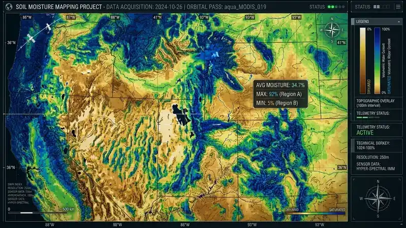
A complete guide to satellite based soil moisture monitoring. Learn how microwave remote sensing, SMAP, and Python algorithms track global drought.
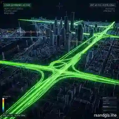
Discover techniques for automated road network extraction lidar. Learn point cloud classification and geometry generation for precise urban mapping.
Everything you need to know about Remote Sensing & GIS
Remote Sensing is the science of collecting data about Earth's surface from a distance, primarily using satellites or aircraft. It is used across a wide range of fields including agriculture (crop monitoring), disaster management (flood mapping), urban planning, forestry, climate change research, and military intelligence. Modern remote sensing combines multispectral, hyperspectral, LiDAR, and SAR sensors to provide detailed, actionable geospatial insights.
A Geographic Information System (GIS) is a framework for gathering, managing, and analysing spatial and geographic data. GIS is critical for spatial analysis because it allows professionals to visualise complex datasets on maps, identify patterns and relationships across space and time, and make data-driven decisions in fields like urban planning, environmental monitoring, transportation, public health, and natural resource management.
A Digital Elevation Model (DEM) is a generic term for any digital representation of terrain. A Digital Surface Model (DSM) captures the elevation of everything on the Earth's surface including buildings, trees, and other structures. A Digital Terrain Model (DTM) specifically represents the bare Earth surface with all above-ground features removed. DTMs are essential for hydrological analysis, flood modelling, and civil engineering, while DSMs are preferred for 3D city modelling and vegetation analysis.
The most widely used free and open-source GIS tools include QGIS (the most powerful desktop GIS alternative to ArcGIS), GRASS GIS (ideal for advanced raster and vector processing), SAGA GIS (specialised terrain analysis), PostGIS (spatial extension for PostgreSQL databases), GDAL/OGR (command-line geospatial data transformation), and Google Earth Engine (cloud-based planetary-scale analysis). For web mapping, OpenLayers, Leaflet.js, and MapLibre GL JS are the leading open-source frameworks.
AI and ML are fundamentally transforming geospatial science. Deep learning models such as CNNs and transformers are now used for automated land cover classification, building footprint extraction, road network detection, and change detection at continental scale. Object detection algorithms identify features like vehicles, ships, and deforestation in satellite imagery. Predictive models powered by ML forecast natural disasters, crop yields, and urban growth. Tools like Google Earth Engine, Python (TensorFlow, PyTorch), and cloud platforms have made these capabilities accessible to GIS professionals worldwide.
SAR is an active microwave remote sensing system that generates its own radar pulses and records the returning signals to create high-resolution imagery. Unlike optical sensors, SAR operates day and night and can penetrate cloud cover, smoke, and light rain, making it ideal for monitoring disaster zones, detecting floods under forest canopy, mapping sea ice, and monitoring ground subsidence through InSAR (Interferometric SAR). Sentinel-1 from ESA is the most widely used free SAR dataset for environmental and earth observation applications.
Python is by far the most important language for geospatial professionals, with powerful libraries such as GeoPandas, Rasterio, Shapely, Fiona, PyProj, and EarthPy. R is widely used for spatial statistics and ecological modelling. JavaScript is essential for web GIS development using Leaflet.js, MapLibre GL JS, and the ArcGIS JS API. SQL with PostGIS is critical for managing and querying large spatial databases. Google Earth Engine uses its own JavaScript and Python APIs for cloud-based satellite image processing at planetary scale.
The primary sources of free, openly licensed satellite imagery include: Landsat (USGS/NASA, 30m resolution, 1972–present), Sentinel-1 & 2 (ESA, 10m optical and SAR), MODIS (NASA, daily global coverage, 250m–1km), SRTM and ASTER DEM (global elevation data), Planet's Education and Research programme (3m daily imagery), and NASA's Earthdata portal. Google Earth Engine provides cloud-based access to petabytes of these datasets with free computational resources for researchers.
LiDAR (Light Detection and Ranging) works by emitting rapid laser pulses and measuring the time it takes for each pulse to return after hitting a surface. This produces dense 3D point clouds with centimetre-level accuracy. Key applications include: creating high-resolution DTMs and DSMs for flood modelling and terrain analysis, mapping forest structure (canopy height, biomass estimation), autonomous vehicle navigation, archaeological survey of hidden structures, urban 3D modelling, and coastal erosion monitoring. Airborne and terrestrial LiDAR systems are complemented by emerging drone-mounted LiDAR sensors.
Vector data represents geographic features as points (cities, wells), lines (roads, rivers), or polygons (boundaries, land parcels) using coordinate pairs, ideal for discrete, clearly defined features where boundaries matter. Raster data represents continuous phenomena as a grid of cells or pixels, used for satellite imagery, elevation models, temperature gradients, and precipitation maps. Use vector data for administrative boundaries, infrastructure, and facility locations. Use raster data for remote sensing analysis, terrain modelling, and spatial interpolation of continuous variables. Many GIS workflows combine both types to leverage their complementary strengths.
Welcome to RS & GIS, a platform dedicated to exploring the intersection of Earth sciences and modern technology.
Managed by a BS in Remote Sensing & GIS graduate, this blog aims to educate, inspire, and provide information about geospatial technology, RS&GIS and relevant topics.
Learn More About RS & GIS →